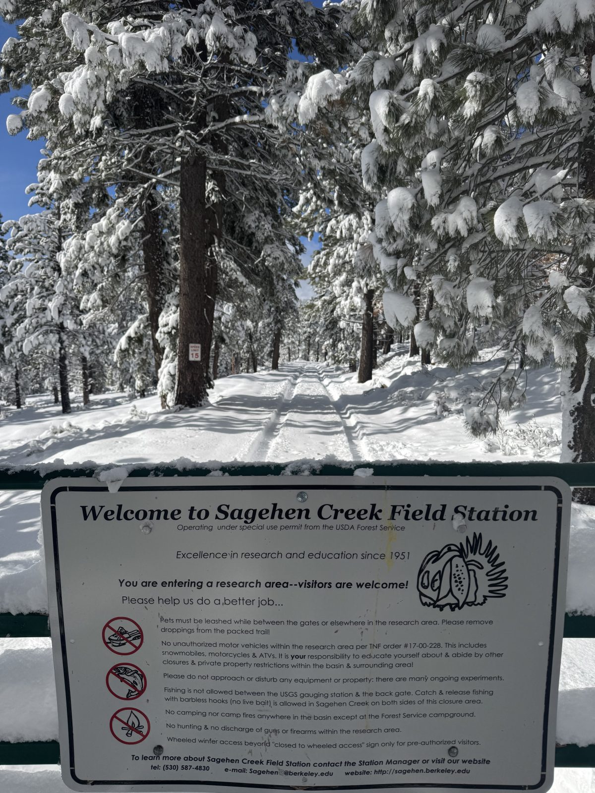
Sagehen Creek Field Station is located 8 miles north of Truckee, California, at ~6,380 feet elevation on the east slope of the northern Sierra Nevada.
???? Getting Here
- Driving: Use Google Maps and search for “Sagehen Creek Field Station.” Avoid other mapping apps or search terms, which may direct you incorrectly.
- The entrance gate is about 200 yards off Hwy 89. Access requires a combination code—please arrange this in advance with the Station Director.
- The 1.8-mile entrance road is unpaved. Snow is typically removed to the station in winter. High-clearance vehicles are helpful but not required.
???? Mountain Biking
Planning to bike in? Use the Sagehen–Prosser–Truckee Commuter Trail for mountain bike access between Sagehen and Truckee.
❄️ Winter Access
Over-snow travel beyond the station (to Upper Basin) typically requires snowmobiles, snowshoes, or skis from November to May. Always carry tire chains and extra warm clothing when traveling in the Tahoe region during winter months.